- Tuesday, 2 June 2026
Weird Summer

Andrew King
The Northern Hemisphere summer has brought one extreme event after another – from heatwaves to wildfires and floods. It comes as the world likely heads into an El Niño pattern, which brings a higher chance of hot, dry weather in much of Australia. The extremes in the Northern Hemisphere are linked to persistent weather patterns which allow heat to build in some places and rain to continue in others. On top of this, human-caused climate change is raising temperatures to new heights.
It’s too early to say whether Australia is in for a scorching summer. The predicted El Niño is a worry, but doesn’t guarantee the record-smashing heat we’re seeing in parts of the Northern Hemisphere. Continued global warming will bring more record-high temperatures in Australia. So we must remain on high-alert – and ramp up reductions in greenhouse gas emissions.
Major heatwaves are underway in North America, Europe, North Africa and Asia. In California’s Death Valley, temperatures on Sunday reached 53.3oc. Parts of Italy were expected to reach 45oc on Tuesday, and later in the week could approach Europe’s hottest temperature on record: 48.8oc. China provisionally reached 52.2oc on Sunday, shattering the previous record for the country by more than 1.5oc.
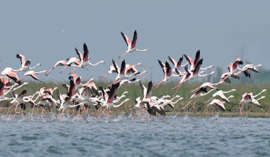
Meanwhile, wildfires are tearing through Canada, Greece and Spain, destroying properties and forcing evacuations. So what’s causing these simultaneous heatwaves across multiple regions? They’re all linked to high-pressure weather systems that are “blocking” or deflecting oncoming low-pressure systems (and associated clouds and rain). These low-pressure systems have moved to other areas and caused extreme rainfall and flooding. Flooding in South Korea has left 40 people dead and destroyed critical infrastructure. Vermont, in the northeast United States, was also flooded after up to two months of rain fell in a few days.
Alarmingly, the atmospheric patterns driving the extremes in the Northern Hemisphere appear to be getting more common under climate change. On top of this, human-caused global warming is greatly increasing the chance of record-breaking extreme heat events and concurrent heatwaves across many regions. All this begs the question of what might be coming Australia’s way this summer. There’s one factor working in our favour: the particular atmospheric pattern bringing extremes to the Northern Hemisphere isn’t replicated in the Southern Hemisphere, because we have more ocean and less land.
However, Australia does experience its own “blocking” high pressure patterns which also bring major heatwaves and extreme rain events. El Niño is a little more easily predicted. Currently, the tropical Pacific Ocean is trending towards El Niño conditions, as waters off the west coast of Ecuador and Peru continue to warm. Some meteorological agencies say an El Niño has already arrived. Australia’s Bureau of Meteorology is holding off on a declaration, for now. That’s because while the Pacific has fallen into an El Niño pattern, the atmosphere hasn’t yet followed.
But the bureau still puts the likelihood of an El Niño at 70 per cent, and forecasts warmer and drier conditions across much of Australia from August to November.
Australia’s spring is likely to be drier than average, especially across the east and south. Of course, all this comes on top of human-driven global warming. In Australia, land areas have already warmed by 1.4oc over the past century, and the cool summers common before 1980 are now far less likely. The Northern Hemisphere’s current extreme weather, and predictions of hotter summers in Australia, are all evidence of humanity’s fingerprints on Earth’s climate. This should spur urgent action to reduce greenhouse gas emissions.
-- The Conversation