- Wednesday, 27 May 2026
GPS Mapping in Nepalgunj Sub-Metropolitan to mitigate earthquake risk
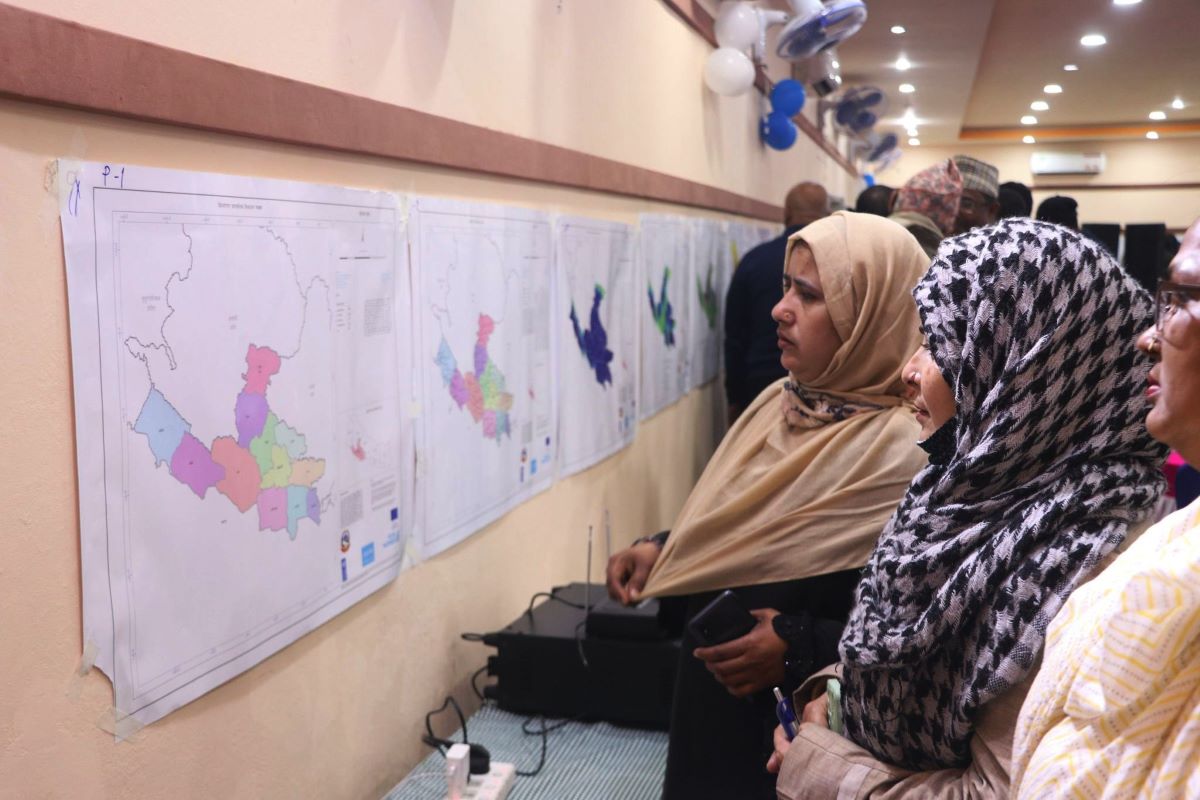
Locals looking at the GPS mapping in Nepalgunj.
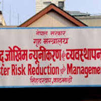
By Siraj Khan, Nepalgunj, Feb 8: Nepalgunj Sub-Metropolitan has been expediting Global Positioning System (GPS) mapping as an advance preparation for reduction of earthquake disaster risk.
The sub-metropolitan informed that it will be helpful to mitigate risk of disaster.
Nepalgunj Mayor Prashant Bista said that the suggestions of locals and experts are being taken for mapping GPS.
He said that it is running urban disaster and earthquake preparedness project in the risky area.
Information Management Officer of Emergency Task Operation Center, Rupan Gyawali informed that suggestions and consultation are being taken after the GPS mapping.
President of Nepal red-cross society Banke district Govardan Singh Samjhana said that the detailed GPS mapping in disaster risky area is a positive initiative.
Head of United Nations Children’s Fund (unicef), Nepalgunj Deepak Shrestha and super project technical officer Naresh Nedaal, and sub-metropolitan environment engineer Prakash DC said that GPS mapping should be implemented soon.
Chief administrative officer of Nepalgunj Shiva Prasad Rijal said that said that mapping is being expedited in wards no. 3 and 7 considering its location in risky area.
-original-thumb.jpg)