- Monday, 25 May 2026
Nepal objects to Indo-China Kailash route via Lipulek
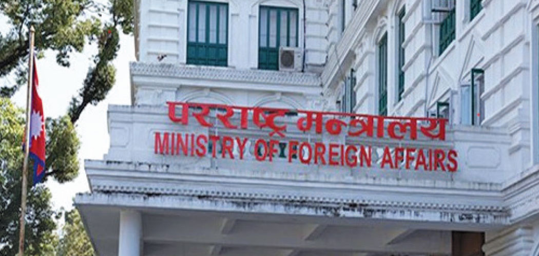
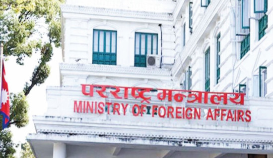
Kathmandu, May 4: The Ministry of Foreign Affairs (MoFA) reiterated on Sunday evening that Limpiyadhura, Lipulek and Kalapani, located east of the Mahakali River, are integral parts of Nepal, as established by the Treaty of Sugauli of 1816.
The Ministry issued a statement responding to the proposed operation of the Kailash Mansarovar pilgrimage route via Lipulek – passing through Nepali territory – between India and China.
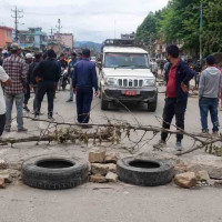
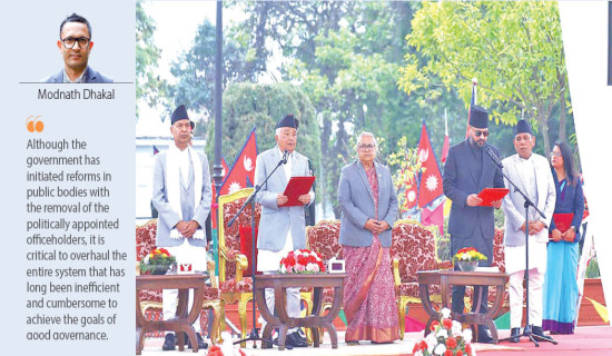
The government has clarified Nepal's position responding to the queries and concerns raised by media and general people many of whom took to social media, demanding government's statement on the recent development that has undermined Nepal's sovereignty.
"The Government of Nepal has once again conveyed its clear position and concerns regarding the proposed Kailash Mansarovar pilgrimage route via Lipulek to both India and China through diplomatic channels," read a statement of the ministry.
The government has urged India, in the past, not to undertake any activities in the area, including the construction or expansion of roads, border trade, or pilgrimage-related activities.
The MoFA also said that Nepal has formally informed China that the Lipulek area lies within Nepali territory.
It stated that in line with the spirit of the close and friendly relations between Nepal and India, Nepal remains committed to resolving the boundary issue through diplomatic means, on the basis of historical treaties, facts, maps and evidence.
According to previous foreign ministers, although the government had sent diplomatic notes to both India and China, they did not respond to them.
Although the 2016 Sugauli Treaty established the Mahakali River as Nepal's western boundary, following its war with China in 1962, India stationed its security forces in Kalapani. Nepal’s delayed objections to it encouraged India to enhance infrastructure and accessibility to the northern border with China.
Although India had been claiming the Nepali territory since early 1950s, Nepal formally asked India to remove the Kalapani area from its map after the latter did so in November 2019.
In November 2019, India released a new map showing Kalapani, Lipulek and Limpiyadhura within its territory. Nepal strongly protested and sought a talk with India but the latter kept mum.
In May 2020, India constructed an 80-km road connecting Dharchula and Lipulek pass, a Nepal-China border point. Nepal immediately protested and sent a diplomatic note to India, demanding a halt to the unilateral action in its territory. The Kalapani area including Limpiyadhura and Lipulek covers about 350 square km.
Earlier, in 2015, when India and China signed an agreement to expand their bilateral trade through the Lipulek pass during Indian Prime Minister Narendra Modi's visit to China, Nepal registered a formal protest, stating that the two neighbours consented on using Nepali territory without seeking consent of the latter.
The road inaugurated by Indian defence minister is used for strategic movement of military forces. Lipulek, located at 17,000 feet altitude, is a strategic location and main entry to the Mansarovar while a nearby Tinkar Bhanjyang (pass) is a historic trade route with touristic and strategic importance.
India has long been averting to accept the report of the Eminent Persons Group (EPG) on Nepal-India Relations for the past several years. The Group was mandated, by both Nepal and India, to review the entire relations between the two countries, including 1950 India-Nepal Treaty of Peace and Friendship.


-original-thumb.jpg)