- Monday, 4 May 2026
Glacial Outburst Risk
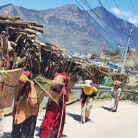
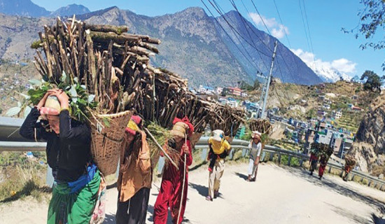
Nepal is blessed with snowy mountains, glaciers and glacial lakes, earning it the appellation of a Himalayan nation. Nepal is located in a crucial part of the 3,500-km Hindu Kush-Himalayan range. Its Himalayas cover 800 km of that range where the world’s tallest as well as taller peaks lie. They are not only the perennial sources of wonder and beauty but their meltwater also feeds hundreds of rivers that provide freshwater to nearly a quarter of humanity. Glacial lakes are a part of the ecosystem of the Himalayas. A glacial lake consists of a body of water created by the glacier's movement. As the glaciers erode, melt or are dammed, the glacial lakes come into existence. But, when the glacial lakes burst, they cause huge damage to lives, human settlements, other structures and agricultural lands.
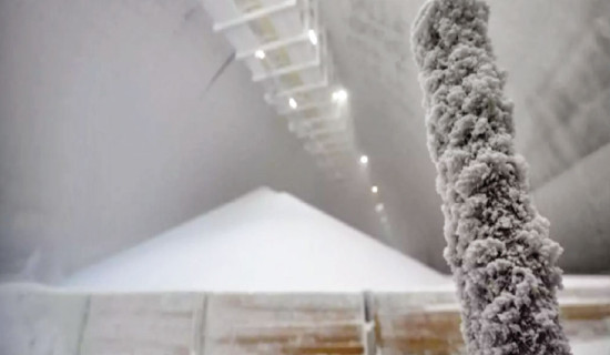
In technical parlance, this phenomenon is called glacial lake outburst floods (GLOFs), thanks to the rising global temperatures blamed for the increased number of such disasters. Nepal has witnessed an increased number of GLOFs in recent years, triggering the sudden flash floods and landslides, killing people and destroying property. Those communities living downstream and in remote areas have been facing a constant threat to their life and livelihoods. Over the last three years, the country has suffered from devastating floods caused by GLOFs. The latest one is the unanticipated flash flood that occurred in Rasuwa on July 7. At least seven people died and 19 others went missing in the disaster. It was not rainfall but the sudden drainage of a supraglacial lake located around 36 kilometres north of the Nepal-China border at Rasuwagadhi that has been blamed for the deadly flood.
A study conducted by ICIMOD/UNDP shows that out of 47 potentially dangerous glacial lakes (PDGLs) identified across the Hindu Kush Himalayan region, 21 are located in Nepal and the number of such risky lakes has doubled over the last decade (2011 to 2020). Climate change has made the Himalayan region prone to recurrent GLOF, which calls for strategic intervention for generating awareness, taking adaptation and making resilient structures. Experts have now suggested giving attention to smaller lakes that have begun to burst occasionally. In the past, the large glacial lakes were considered potentially dangerous, but climate change has altered this scenario. It is contributing to the formation and burst of big as well as small glacial lakes. The explosion of smaller lakes was recorded as regular floods but they are now causing huge damage to life and physical structures.
However, challenges lie in mapping such lakes accurately. Our authorities have to rely on satellite imagery as mapping them manually is virtually impossible. It is imperative to apply sophisticated information technology to map and monitor them. The government should invest in procuring and setting up the advanced technology to conduct a long-term, continuous and comprehensive study on the formation and melting of lakes, as the satellite images alone are not sufficient to learn about them. It is necessary to establish the monitoring plots from east to west and analyse decades of data. If the experts can predict the bursts of glaciers and issue early warnings accordingly, the loss of lives can to prevented to a large extent.