Origin Of Mahakali River
Buddhi Narayan Shrestha
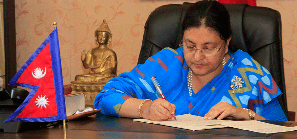
President Bidya Devi Bhandari authenticated the second amendment to the constitution to update and incorporate the country’s new map in the national emblem, which depicts Limpiyadhura, Lipulek and Kalapani within Nepali territory on 20 June. Both Houses of the Federal Parliament unanimously passed the Bill, enabling to amend the map in the Coat of Arms. Government of Nepal had unveiled a revised ‘Administrative and Political Map of Nepal’ on May 20, which included the regions as part of its sovereign territory.
India had released new ‘Political Map of India’ on November 2, 2019 depicting the Kali River and Lipulek-Kalapani-Limpiyadhura area on their territory. India amended this map on November 8, deleting the word ‘Kali.’ Nepal protested these maps and served diplomatic note to India mentioning, Kalapani area belongs to Nepal as the new map has encroached upon the Nepali territory.
Maps overlapped
The maps published from both the sides depicted 372 sq. km. Kalapani area within their own territory. It caused the overlapping of two maps of the same area. The international arena is confused, which of the maps is authentic and which one is falsified. The Sugauli Treaty (1816) states that the western boundary of Nepal is the Kali River. However, the origination of the river had not been mentioned. Nepal pleads that the Kali/Mahakali River is originated from Limpiyadhura, and Kalapani area is located east of the river in Nepali territory. India says it is originated from the temple of Kali so that Kalapani falls under its territory. Had it been mentioned the source in the treaty, there wouldn’t have any controversy. In this juncture, the most important element is to delineate and determine origination of the River Kalee/Kali/Mahakali with the spirit of the treaty in respect of the Kalapani issue.
An issue of the Mechi River could be taken as the precedent to determine the main river and tributaries of the Kali/Mahakali River for the settlement of Kalapani dispute between Nepal and India. In 1827, a boundary dispute arose between Sikkim and Nepal regarding the jurisdiction of a piece of hilly land called Ontoo (Antu), which was situated between two rivers. The bone of contention was that there were two rivers on the eastern and western side of the hill Ontoo. Sikkim claimed that the river flowing west of the hill is the Metchi (Mechi) River so that Ontoo hill belongs to Sikkim. On the other hand, Nepal pleaded that the river originated from the eastern side of the hill is the Mechi River. With this, Ontoo hill is under the sovereignty of Nepal.
The Raja of Sikkim referred the dispute to British India Governor General for arbitration. At the time, captain G S Llyod had been deputed to investigate the dispute. On his findings, it was decided that the hill was part of Sikkim territory, as the western river was regarded as the Metchi River. So Government of British India decided the dispute in favour of Sikkim. In 1837, the Nepal Government appealed against the 1827 decision. The government of India admitted that appeal and Bengal Government deputed Sir George Campbell to re-examine the two claims in 1837.
Considering the claim and counter-claims by both the countries, Campbell formed a joint team with equal number of members representing Nepal and Sikkim. The joint team visited various spots of both the rivers. During the field visit, Campbell measured and recorded the length and width of the rivers, and depth of water in many places from the origin to the confluence of both the rivers. Measurement of length was taken through walking hours along the two rivers spending many days. Width of the river was taken through eye estimation. The volume of water was measured by sounding system, hurling heavy stones into the water. He enunciated that if the sound is heavy with louder noise that would be regarded as deep water river. Sounds were recorded through a personal mindset judgment in many spots in both rivers.
With all these recordings, Campbell came into conclusion that the river originated from the eastern part of Ontoo bears longer in length, wider in width and deep water sounding; and this is the main river as Metchi River. The other river flowing from the western side of the hill is the tributary of the main river Metchi. It was named as Siddhi River. In such a way, Campbell's findings with the hydrographic principle went against the Sikkim Durbar and in favour of Nepal. On his insistence, the hill was marked out as part of Nepali territory. As a result, the government of India reversed its earlier decision and gave verdict in favour of Nepal. (Rao, P R, India and Sikkim 1814-1970, Sterling Publishers1972, New Delhi-16)
Way forward
If we apply this precedent, origination of the Mahakali River could be fixed at Limpiyadhura. As measured with hydrological principle, this river is 2.6 times longer, it bears four times more volume of water and it has 90 per cent larger watershed area than the river originated near to Lipulek. (Bhusal, Jagat Kumar, The Origin of Mahakali River, Rising Nepal Daily, September 4, 1998).
In addition, there are evidences of maps of 1819, 1827 and 1856, census enumeration, election voter lists and land revenue receipts paid by Nepali people inhabited before encroachment of that area by India. In conclusion, it could be said that if it is fixed the origination of river Kali/Kalee/Mahakali at Limpiyadhura, the dispute will be settled once and for all. As a result, Navi, Kuti, Gunji, Kalapani, Navidang and Lipulek, located east of the river, belong to Nepal. This issue should be reconciled in the spirit of the Sugauli Treaty with mutual understanding, friendliness and good neighbourhood so that Nepal-India relationship will expand further not only at the government-to-government level but also at the people-to-people level.
(Shrestha is a former leader of Nepal-India Technical Level Joint Boundary Committee)
Recent News
Do not make expressions casting dout on election: EC
14 Apr, 2022
CM Bhatta says may New Year 2079 BS inspire positive thinking
14 Apr, 2022
Three new cases, 44 recoveries in 24 hours
14 Apr, 2022
689 climbers of 84 teams so far acquire permits for climbing various peaks this spring season
14 Apr, 2022
How the rising cost of living crisis is impacting Nepal
14 Apr, 2022
US military confirms an interstellar meteor collided with Earth
14 Apr, 2022
Valneva Covid vaccine approved for use in UK
14 Apr, 2022
Chair Prachanda highlights need of unity among Maoist, Communist forces
14 Apr, 2022
Ranbir Kapoor and Alia Bhatt: Bollywood toasts star couple on wedding
14 Apr, 2022
President Bhandari confers decorations (Photo Feature)
14 Apr, 2022
