Thursday, 25 April, 2024


By Modnath Dhakal
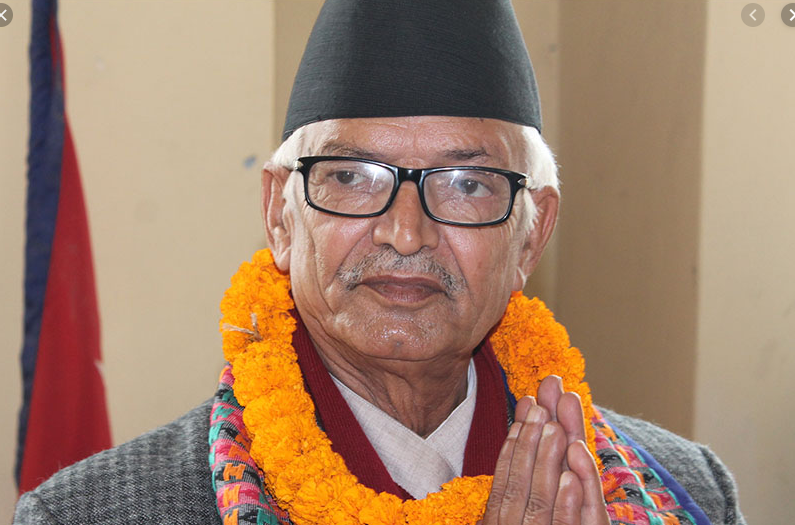
Kathmandu, Nov. 10: The Sugauli Treaty is the document that sets the international boundary between Nepal and India at Limpiyadhura, there is no alternative, said former Prime Minister Jhala Nath Khanal.
“For us there are no other treaties. We don't follow the borders set by India and China,” he said while speaking at the weekly dialogue ‘Gorkhapatra Sambad’ on Sunday.
Limpiyadhura is a tri-lateral border point, and without setting the point our western border couldn't be set. It can be possible with the consent of all three countries – Nepal, India and China.
“We don't subscribe the agreement between India and China regarding the Lipulek or Kalapani area. We have expressed this view with the both,” Khanal said. “We want a tripartite agreement regarding the border point. Lipulek is not the trilateral point but Limpiyadhura is.”
The senior leader of the Nepal Communist Party (NCP) said that the country had delayed claiming the Kalapani region, including Limpiyadhura and Lipulke.
He stated that it was not about Kalapani, Lipulek and Limpiyadura, but about setting the Nepal’s national boundary as per the Sugauli Treaty which clearly reads that the Mahakali River was the western boundary of Nepal.
The country missed the chance to secure its own land from the very beginning, he said.
“If you see the maps of the 19th century, Limpiyadhura is shown in Nepal's territory. Indian maps in the 20th century have shown Lipulek as their land while the recent maps have shown further encroachment, about additional 50 km in Nepal's side,” he said.
According to Khanal, Nepal also dared not to include Limpiyadhura as its territory. Although Nepali maps show Kalapani region in Nepal’s territory, it was up to Lipulek not Limpiyadhura.
He said that conducting of census by Nepal in the Kalapani region and local people paying land revenue to the government were the strong evidence in Nepal’s part.
He suggested the government create a position paper as the initial step. “It must search all past agreements, treaties, maps and activities and include them in the position paper before holding discussion with India,” he said.
Khanal pointed towards the need for enhancing the security at the international borders at the earliest and increasing the security forces to meet the security demand. More border posts must be created, and the entire border security mechanism, including the resources and institutions, should be strengthened, he suggested.
Similarly, he said that creation of a digital map of the country could resolve many problems since many other countries around the globe had done the same.
Lipulek is a strategic location. It is the main entry point to Mansarovar, a sacred lake in Tibet. Similarly, near to it is Tinker Bhanjyang which is the famous trade route and has high touristic and strategic importance. Such benefits could have increased India’s greed, he said.
He expressed his hope that the national unity in the issue of Kalanpai encroachment could deliver expected results. “The country has a national consensus on Kalapani region. This is a treasure. This consensus is a powerful force. Now we stand at a point of national unity,” he said.
The government must recognise the importance of this opportunity and take proactive action to address the issue, he said mentioning that challenge and opportunity were the twins.

Do not make expressions casting dout on election: EC
14 Apr, 2022
CM Bhatta says may New Year 2079 BS inspire positive thinking
14 Apr, 2022
Three new cases, 44 recoveries in 24 hours
14 Apr, 2022
689 climbers of 84 teams so far acquire permits for climbing various peaks this spring season
14 Apr, 2022
How the rising cost of living crisis is impacting Nepal
14 Apr, 2022
US military confirms an interstellar meteor collided with Earth
14 Apr, 2022
Valneva Covid vaccine approved for use in UK
14 Apr, 2022
Chair Prachanda highlights need of unity among Maoist, Communist forces
14 Apr, 2022
Ranbir Kapoor and Alia Bhatt: Bollywood toasts star couple on wedding
14 Apr, 2022
President Bhandari confers decorations (Photo Feature)
14 Apr, 2022