Updated Map Protects Territorial Integrity
A profound sense of national pride and self-confidence has reigned supreme in the psyche of every patriotic Nepali with the publication of the country's updated political and administrative map the other day. The updated map incorporated Kalapani, Lipulek and Limpiyadhura and other areas which were erroneously left out in the country's existing map by former governments, despite having clear rights of possession based on the historical evidences. The new official map was brought out by including these left-out parts as per the government's determination to keep the heads of all countrymen high by respecting the historical contributions of their forefathers in protecting the country's territory.
The publication of the new map by integrating areas east of the Kali River originating from Limpiyadhura has definitely been a momentous stride towards protecting sovereignty and keeping territorial integrity intact. It has also enabled the nation in sending a loud and clear message to the neighbours that no country has any right to encroach upon the territories of their neighbours. The new map is a reminder that every nation must always respect the sovereignty of all independent nations, irrespective of their size, power and economic condition.
The task of updating the map took place after India included the Nepali areas in its official map and then built a strategic road in Nepal's Lipulek area. Following India's brazen act of encroaching upon the Nepali land, the government of Nepal had no option but to bring out its updated official map including all the left-out areas on the basis of historical Sugauli Treaty of March, 1816 held between Nepal and then East India Company.
The official map has however been met with rejection by India that has falsely been claiming that the areas incorporated in the new map belonged to it. A few days ago, when Nepal was making its full-throated claim on its land in the Kalapani areas, India's army chief was quick to accuse the Nepali government and leaders of acting against India at someone else's behest. Nowadays, India's highly partisan media is up against the Nepali government criticising the latter for making its rightful move updating the map. India must respect truth and should not be flexing its muscle against a small but independent Nepal that deserves rights to protect her territory through lawful measures.
No one would deny that the full realisation of the new map could be achieved when India returns our land to us. The need of hour is that the government of Nepal must earnestly hold meaningful dialogues with India in such a way that the latter realises its glaring mistakes in encroaching upon our land. Moreover, since the Kalapani area also comprises of a tri-junction among Nepal, India and China, it will serve well for Nepal to seek cooperation from the northern neighbour in resolving the border issue. Having said this, one should also remember that any act of resolving border issue must aim at bestowing meaning and significance to our newly updated map. Anything less than that would be unacceptable to all patriotic Nepalis.
Recent News
Do not make expressions casting dout on election: EC
14 Apr, 2022
CM Bhatta says may New Year 2079 BS inspire positive thinking
14 Apr, 2022
Three new cases, 44 recoveries in 24 hours
14 Apr, 2022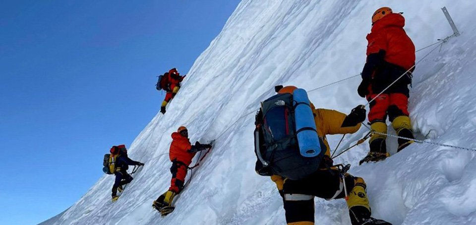
689 climbers of 84 teams so far acquire permits for climbing various peaks this spring season
14 Apr, 2022
How the rising cost of living crisis is impacting Nepal
14 Apr, 2022
US military confirms an interstellar meteor collided with Earth
14 Apr, 2022
Valneva Covid vaccine approved for use in UK
14 Apr, 2022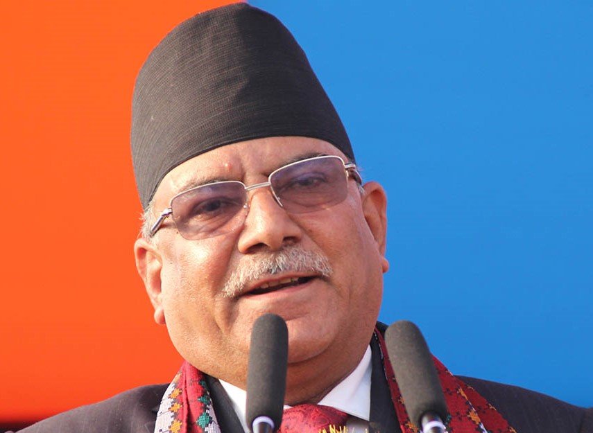
Chair Prachanda highlights need of unity among Maoist, Communist forces
14 Apr, 2022
Ranbir Kapoor and Alia Bhatt: Bollywood toasts star couple on wedding
14 Apr, 2022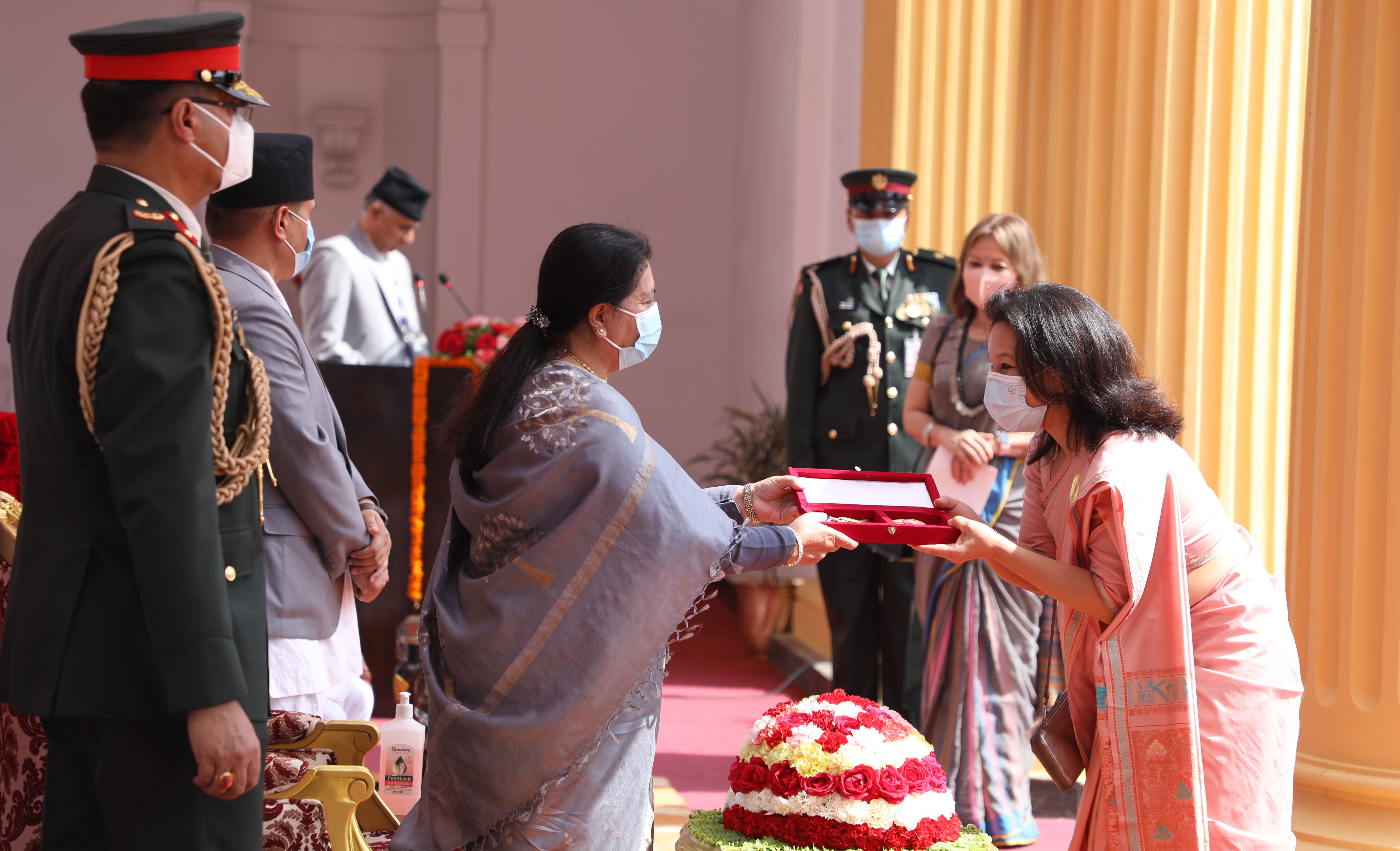
President Bhandari confers decorations (Photo Feature)
14 Apr, 2022

