In Due Process To Get Back Encroached Land
FOLLOWING the release of new political and administrative map, Nepal government entered into due official procedures. It has registered the Constitution Amendment Bill in the federal parliament to insert the newly updated map in the Coat of Arms. The Bill seeks to amend the Schedule-3 of the Constitution that has the Coat of Arms printed with the old map of the country. Earlier, a cabinet meeting decided to register the statute amendment proposal in the House. On May 18, the government had issued the new map that includes Limpiyadhura, Kalapani and Lipulek in the far north-west of Nepal. These remote yet strategic areas were erroneously left out in the past maps owing to various reasons. In its historic move, the government published the updated map by incorporating these places which India has been illegally occupying since 1962.
With the new map, Nepal has launched a cartographic battle to get back these territories but it is indeed an uphill task to reclaim them given the hard posture of the Indian government that has rejected Nepal’s legitimate claim to its own land, with cacophonous Indian media spreading malicious propaganda against Nepal’s bold initiative. Various Indian TV channels have launched spiteful campaign to malign those Nepalis active to bring back the infringed territories. Therefore, Nepal’s approach should be cautious, rational and cool for any provocative action can give pretexts to Indian side to procrastinate and delay the diplomatic dialogues and meaningful negotiations. Nepal government must persuade its Indian counterpart to sit for talks and resolve the long-running border dispute through bilateral understanding. Mutual dialogue is the first and best option to build confidence and find an amicable solution to the problem. The other day government’s spokesman and Minister for Communication and Information Technology Yuba Raj Khatiwada reiterated that Nepal’s efforts would be to convince India that the land belonged to Nepal based on the historical documents and evidences. At the moment, the government is not interested to internationalise the issue, according to him.
Of course, it is the right strategy to bring the Indian side to the negotiating table. But Nepal must equip itself with concrete evidences and historical maps. As suggested by experts, the government should create a pool of documents and experts on Kalapani issue to buttress Nepal’s stand on the matter and counter aggressive propaganda of India. The government has to launch a publicity campaign on the genuine validity of the new map and seek the support of the international organisations and community. It should reach out to the diplomatic missions and international NGOs here and organise national and international interactions to pitch the country’s position. It is essential to send the map to the United Nations and amend the digitised maps existing in Google and other online platforms. Google displays a map of Nepal with demarcation on Kalapani area but does not include Limpiyadhura and Lipulek. It must not forget to disseminate information that the area of Nepal is now 147,516 square km from 147,181 square km. Backed by strong evidences, national unity and powerful government, Nepal is placed in a better position to take back its infringed territories.
Recent News
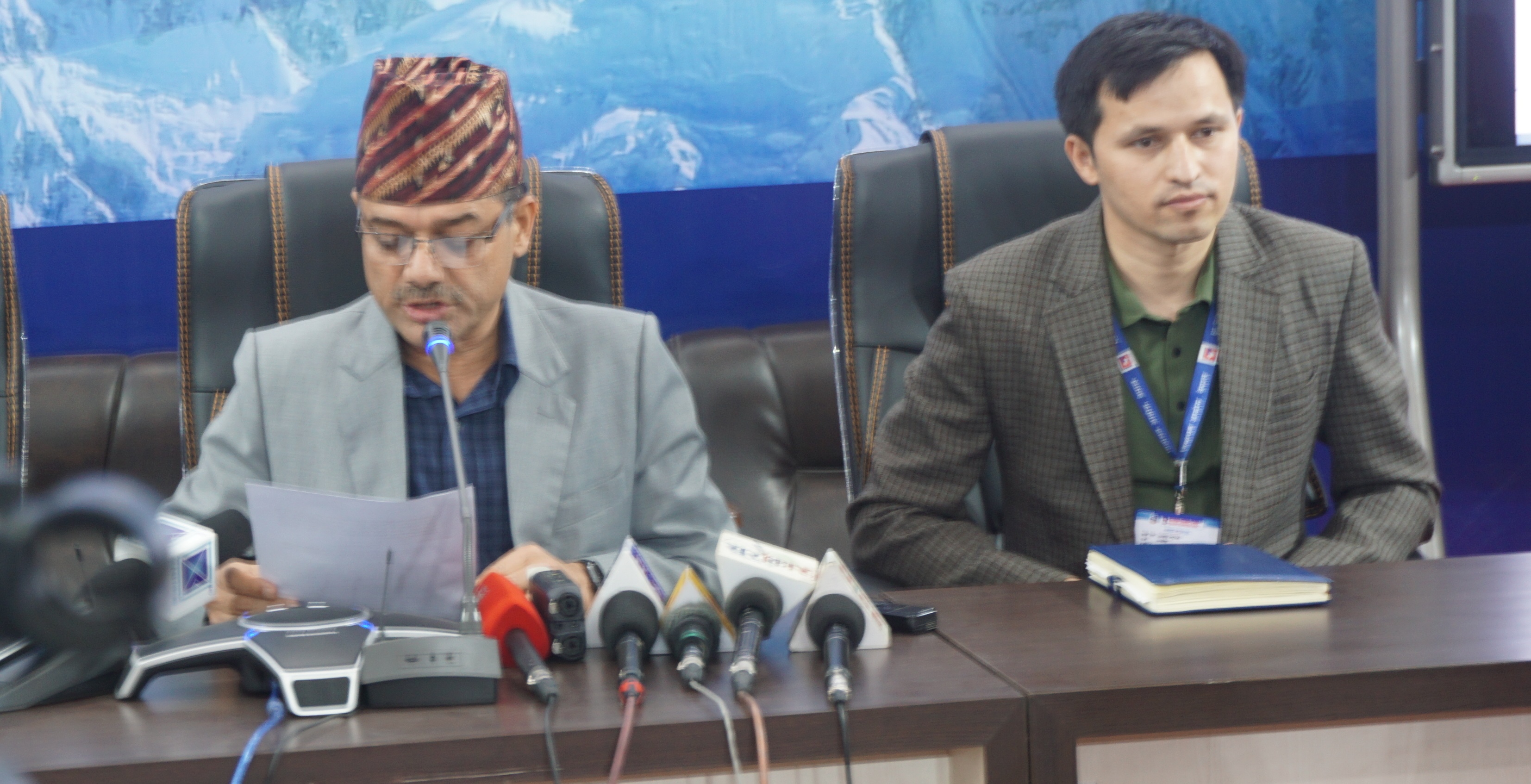
Do not make expressions casting dout on election: EC
14 Apr, 2022
CM Bhatta says may New Year 2079 BS inspire positive thinking
14 Apr, 2022
Three new cases, 44 recoveries in 24 hours
14 Apr, 2022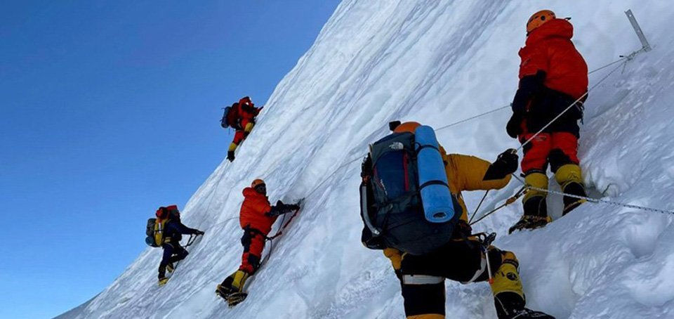
689 climbers of 84 teams so far acquire permits for climbing various peaks this spring season
14 Apr, 2022
How the rising cost of living crisis is impacting Nepal
14 Apr, 2022
US military confirms an interstellar meteor collided with Earth
14 Apr, 2022
Valneva Covid vaccine approved for use in UK
14 Apr, 2022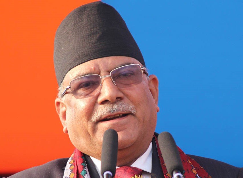
Chair Prachanda highlights need of unity among Maoist, Communist forces
14 Apr, 2022
Ranbir Kapoor and Alia Bhatt: Bollywood toasts star couple on wedding
14 Apr, 2022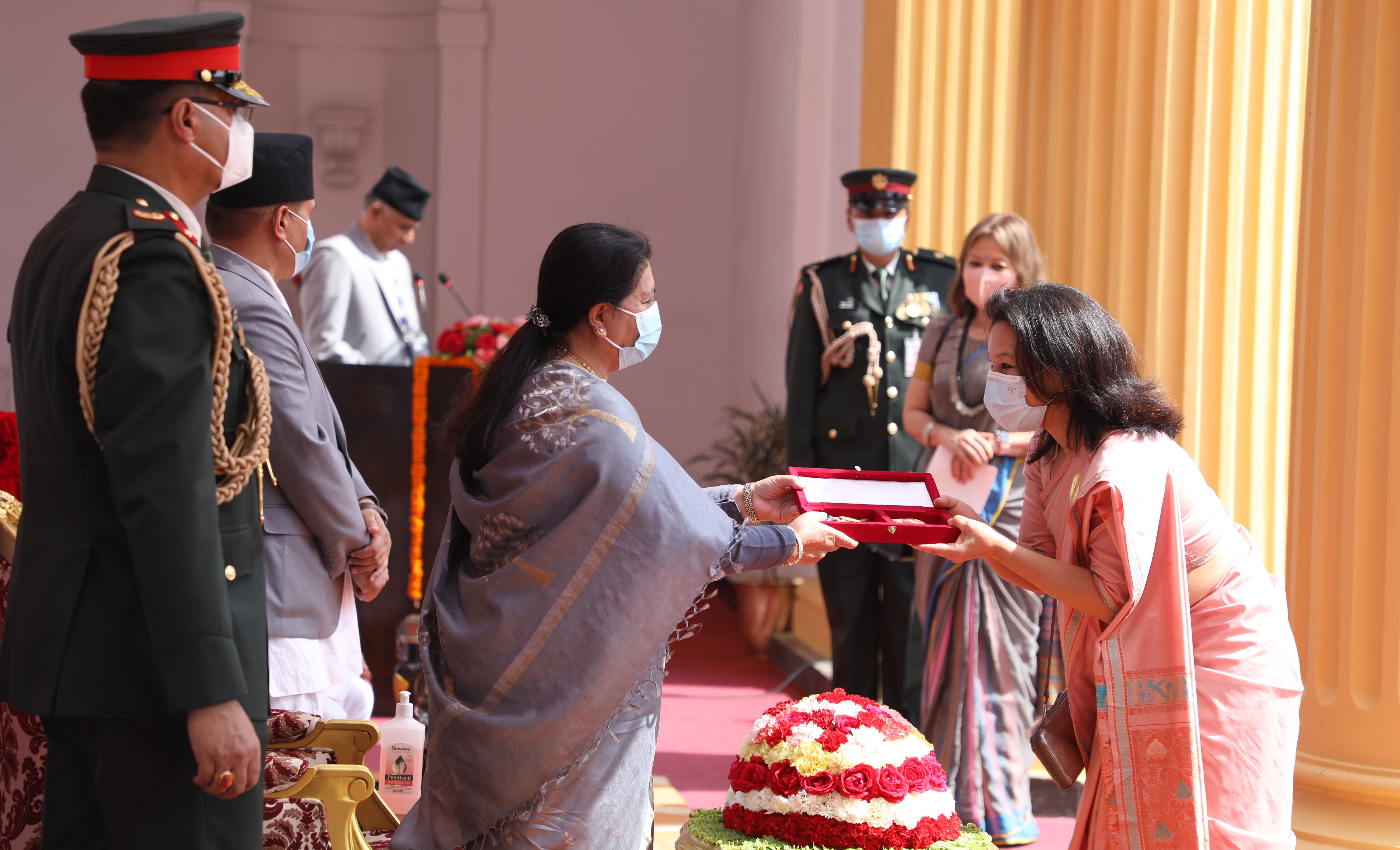
President Bhandari confers decorations (Photo Feature)
14 Apr, 2022

