Historic Move To Assert Nepal’s Territorial Claim
IN a historic move, the government led by Prime Minister KP Sharma Oli has endorsed Nepal’s map that was updated to include Kalapani, Lipulek and Limpiyadhura, the border territories encroached by India over time. For the first time, a Nepali government has shown such a firm commitment and courage to reclaim the land in the northern part of the country’s far west. India had illegally occupied these areas since 1962. The new map, which will come into use in the government’s seal, administrative work and textbooks, is based on the historical evidences, mainly the 1816 Sugauli Treaty and subsequent maps produced by the East India Company and the Survey of India. The Sugauli Treaty signed following the Anglo-Nepal war has clearly mentioned that the Mahakali River originating from Limpiyadhura marks the border with Nepal in the east and India to its west. The Mahakali River has been described as River Kali or Kali R in the maps brought out by the British-ruled India.
The decision on the new map is a concrete step towards tackling the long-running border dispute between the two nations. The country had started to publish its national map since 2032 B.S. by demarcating all zones, districts and development regions but Limpiyadhura, the source of the Kali River, had gone missing from the map. In the past, regimes of different shades had shown reluctance to incorporate Limpiyadhura in the map for fear of inviting Indian hostility. Now Nepal has made its legitimate claim to the infringed land, substantively by asserting the territory of Limpiyadhura, from where the border river Mahakali flows towards south. Despite Nepal’s constant efforts to solve the border dispute through high level political and diplomatic channels, India has continued to ignore the former’s calls and has been moving unilaterally to reinforce its hegemonic grip on the Himalayan nation.
In November, the Indian government published its political map that included Kalapani in it, sparking protests here. Nepal government had been under pressure to fittingly respond to the Indian step and publish its own map, asserting its claim of the encroached territories. The matter took a nasty turn when Indian Defence Minister Rajnath Singh inaugurated a link road that passes through Dharchula of India to Lipulek pass, a Nepal-China border point on May 8. This hurt Nepal government and the people to the hilt, with widespread rage and objection, from the street to the parliament.
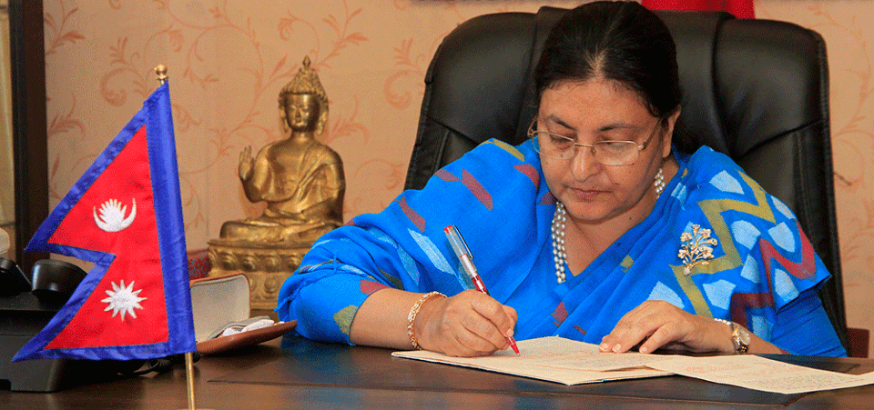
The government sent a diplomatic protest note to Indian government against the construction of the road in Nepali territory. Adding fuel to the fire, Indian army chief said Nepal’s objections were made at the behest of someone else. Such an irresponsible and undiplomatic comment from India’s highest military leadership would only create another round of uproar. This resulted in greater unity among Nepalis. President Bidya Devi Bhandari, while presenting the government’s policy and programme in the parliament, announced the plan to unveil the new map incorporating Kalapani, Lipulek and Limpiyadhura. These series of events led to the decision on the updated map which also highlights new federal structures, administrative units and international border points.
Nonetheless, the ongoing border dispute in the far-west must not allow the bilateral relations between Nepal and India that share age-old cultural, social and economic ties since the ancient times, to turn sour. Now India must be ready for talks to sort out issues of encroachment based on concrete evidences, international laws and sovereign equality. India would do well to drop its illegitimate claims to Nepali territories and respect the latter’s sovereignty and territorial integrity for the best interest of neighbours, regional peace and stability.
Recent News
Do not make expressions casting dout on election: EC
14 Apr, 2022
CM Bhatta says may New Year 2079 BS inspire positive thinking
14 Apr, 2022
Three new cases, 44 recoveries in 24 hours
14 Apr, 2022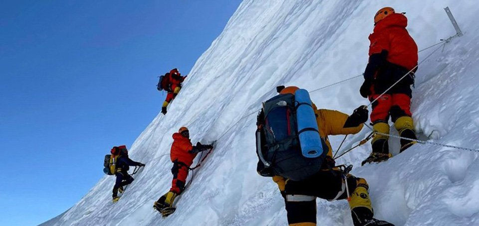
689 climbers of 84 teams so far acquire permits for climbing various peaks this spring season
14 Apr, 2022
How the rising cost of living crisis is impacting Nepal
14 Apr, 2022
US military confirms an interstellar meteor collided with Earth
14 Apr, 2022
Valneva Covid vaccine approved for use in UK
14 Apr, 2022
Chair Prachanda highlights need of unity among Maoist, Communist forces
14 Apr, 2022
Ranbir Kapoor and Alia Bhatt: Bollywood toasts star couple on wedding
14 Apr, 2022
President Bhandari confers decorations (Photo Feature)
14 Apr, 2022

