Thursday, 25 April, 2024
Nepal has made a ground-breaking technological achievement in the nationwide digital soil mapping. With the official launch of the Digital Soil Map (DSM), users now find it easier to have access to location-specific information about soil properties and its mineral contents including soil texture, soil pH, organic matter, nitrogen, available phosphorus and potassium, and micronutrients zinc and boron. Developed by the National Soil Science Research Centre under the Nepal Agricultural Research Council (NARC), in collaboration with USAID’s Nepal Seed and Fertiliser Project, the DSM was inaugurated in the capital on Wednesday. As a model initiative in the entire South Asia, this digital platform can help in maintaining soil nutrient for boosting crop productivity thereby leading to food security. With the help of this tool, users can get details of the soil of the arable land throughout the country. It facilitates the farmers as well as others to get the data and information of the soil type, quality and fertility.
Soil scientists have termed the new digital portal as a milestone as it is an amalgam of the latest research information and digital technology. The users can identify a domain with similar soil properties and look at their soil fertility position by using the new web portal of the soil map. According to the NARC, the information on soil for any province, district, municipality or a particular area of interest can be obtained easily. And the results in a map or tabular format can be downloaded. The users can receive such vital information just with a click on their cell phone. In addition, the DSM can also be useful to make new crop and site-specific fertiliser recommendations for the country. Farmers may find these guidelines to be very handy to increase crop production by applying the right type of fertilisers in required quantities at the appropriate time.
The concerned bodies had to work hard to prepare the DSM. They used the soil information based on analysis results of 23,273 soil samples collected from 56 districts by the National Land Use Project, Central Agricultural Laboratory and the NARC. Those soil properties were combined with environmental covariates (soil forming factors) derived from satellite data. Spatial predictions were also generated by using advanced machine learning tools and methods. With the help of this instrument, the Ministry of Agriculture and Livestock Development (MoALD) can take decisions on import, distribution and recommendations of appropriate fertiliser types in a more efficient manner. The private sector can also utilise the soil information to build interactive and user-friendly mobile apps that can provide soil properties and fertiliser-related information to farmers.
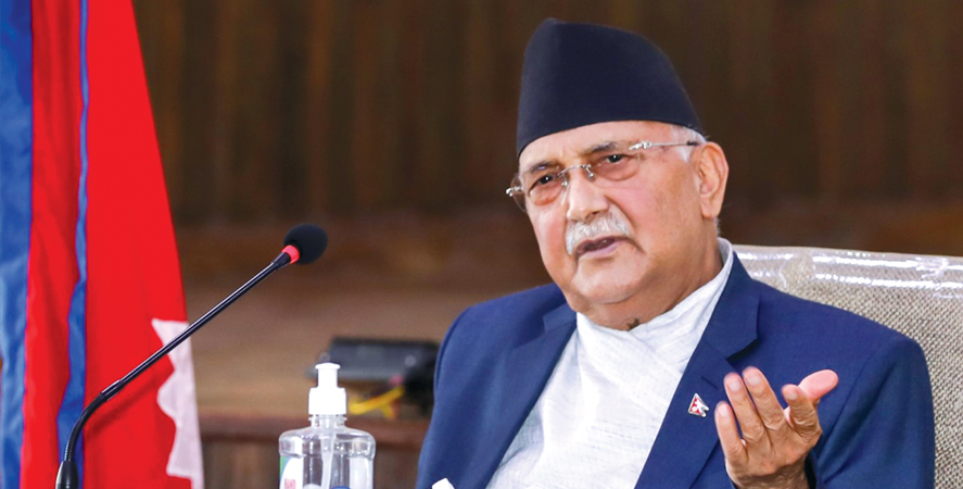
Since this system helps in the management of soil fertility properly, this can lead to high agricultural productivity. In Nepal, about 65 per cent of the total population is involved in agriculture sector. But its contribution to the Gross Domestic Product (GDP) stands only at 27 per cent. Launching the national DSM, Prime Minister KP Sharma Oli said that it has heralded a new era in agricultural development. He added that the project aims at supporting farmers and increase farm productivity. Such information tool can be immensely helpful in the nation’s drive towards modernisation and commercialisation of agriculture.

Do not make expressions casting dout on election: EC
14 Apr, 2022
CM Bhatta says may New Year 2079 BS inspire positive thinking
14 Apr, 2022
Three new cases, 44 recoveries in 24 hours
14 Apr, 2022
689 climbers of 84 teams so far acquire permits for climbing various peaks this spring season
14 Apr, 2022
How the rising cost of living crisis is impacting Nepal
14 Apr, 2022
US military confirms an interstellar meteor collided with Earth
14 Apr, 2022
Valneva Covid vaccine approved for use in UK
14 Apr, 2022
Chair Prachanda highlights need of unity among Maoist, Communist forces
14 Apr, 2022
Ranbir Kapoor and Alia Bhatt: Bollywood toasts star couple on wedding
14 Apr, 2022
President Bhandari confers decorations (Photo Feature)
14 Apr, 2022